Explore
Explore the Watershed
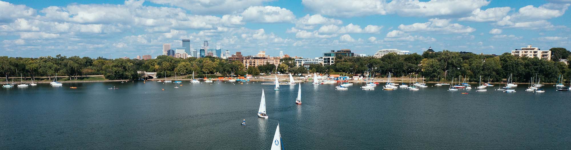
Our lakes, streams, and wetlands are integral parts of our communities, and underpin countless places that bring value and enjoyment to where we live, work, and play. Below, you can explore the health of the watershed and take a visual tour of strategies to protect and improve it. You can review current water levels and paddling conditions, and plan your trip down Minnehaha Creek. Or simply explore the many amazing parks and open spaces throughout the watershed that are anchored by the placemaking power of water.
Learn about the specific issues and strategies driving our projects in our watershed story map.
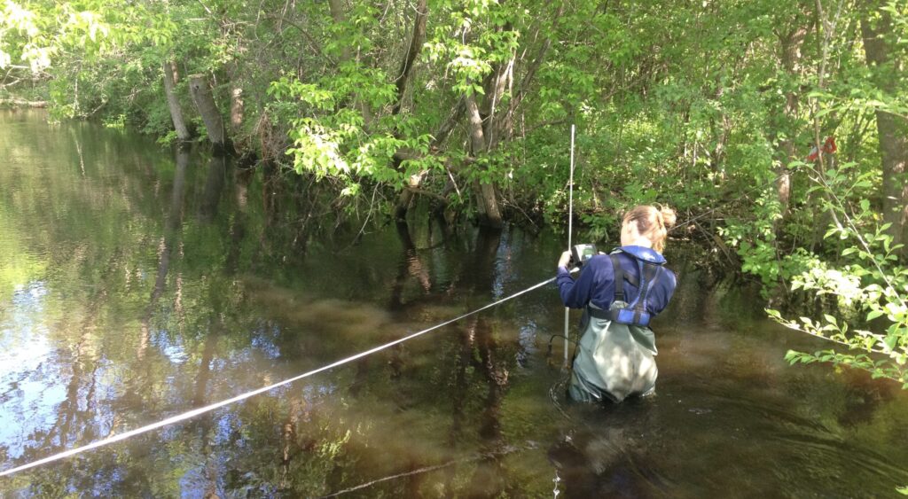
Use our water quality dashboard to check the health of lakes and streams across the watershed.
Learn how and why we operate Gray’s Bay Dam to minimize flooding on Lake Minnetonka and Minnehaha Creek.
Ready for a trip down Minnehaha Creek? See creek levels, put-in locations, and safety information.
Discover parks and open spaces where you can enjoy the benefits of a healthy ecosystem.
Additional Data and Information
Spatial Data Access and Download
External Water Data Sources