
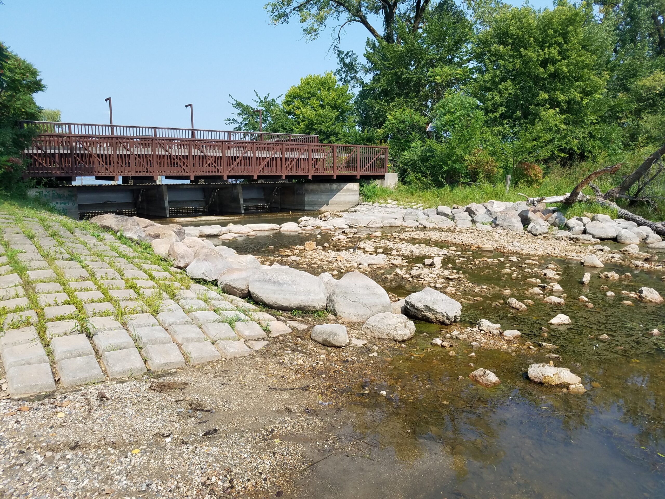
Gray’s Bay Dam Operations
Managing for a More Resilient Watershed
The Gray’s Bay Dam is operated through the spring and fall and is typically closed during the winter season. The operating plan prescribes discharge zones depending on the time of year, the existing lake level, downstream capacity in Minnehaha Creek, and forecasted precipitation.
The operating plan for the Gray’s Bay Dam was designed to mimic the hydrologic conditions of Minnehaha Creek before urbanization, but it also accounts for changing weather. As MCWD works with partners to build a more resilient watershed, more real-time and predictive water level and weather data inform dam operations.
Dam Operations
The Gray’s Bay Dam Operating Plan has seven “discharge zones” that dictate operating decisions based on the time of year, water level, and weather conditions. The figure below shows how dam discharge and Lake Minnetonka’s elevation change over time.
Hover over a point to read the elevation and flow at that time. You can compare Lake Minnetonka’s elevation to historic lake elevations, the dam’s runout elevation, and the dam spillway elevation by clicking the boxes above.
Discharge Zones:
Zone 1- Maximum Creek Capacity
When the Lake Minnetonka level is high (between 929.6 to 930.0), or is rising very quickly, MCWD releases discharge from the dam at the maximum allowable rate. The maximum allowable rate is calculated based on runoff and inflows to the creek to avoid exceeding the carrying capacity of the creek. Although MCWD aims to not exceed the maximum capacity of the creek, sometimes overflow is unavoidable due to water entering the creek from other sources downstream. If the lake level rises beyond 930.0 ft, MCWD must operate the dam in Zone 7.
Zone 2 – Variable Outflow: Zero to Maximum Creek Capacity
In Zone 2, the operating plan prescribes different rates, ranging from zero to the maximum allowable discharge rate, depending on the lake level. When the lake level is below 929.1 ft, MCWD can let out a maximum discharge of 30 cubic feet per second (cfs). As the lake level approaches 929.6 ft, the maximum allowable discharge is allowed. When the lake level is between 928.6 and 929.1 ft, discharge may be less than 12 cfs to avoid adding water into the creek during the spring melt and to retain water for summer evaporation. When lake levels are predicted to rise rapidly and flooding is predicted, MCWD may start discharging the maximum allowed amount of water before the lake reaches 929.1 ft to reduce flooding. Any changes to the maximum allowable discharge rates must be approved by the MN Department of Natural Resources.
Zone 3 – Major Outflow: 150 Cubic Feet per Second Minimum to Maximum Creek Capacity
In the late summer and fall, when the lake level is high, MCWD can release between 150 cfs and the maximum allowable discharge rate. This is done to increase the storage capacity of Lake Minnetonka in preparation for spring snowmelt.
Zone 4 – Optimal Outflow: 20 Cubic Feet per Second Minimum to 150 Cubic Feet Per Second Maximum
Zone 4 is considered the ideal zone for the operating structure, when MCWD is operating in this zone, we have the best conditions to meet the management goals of the dam. In this zone, dam discharge is determined to be between 20 and 150 cfs depending on the capacity of Minnehaha Creek. From May to July, if the lake level is at or below the Ordinary High Water (OHW) level of 929.4 ft, the dam can discharge water at a rate between 20 and 100 cfs. When the lake level rises above the OHW, then the dam may discharge water at a maximum of 150 cfs. Each season, between July and November, staff calculate how much water must be let out to reach the desired fall lake level of 928.6 ft based on normal weather conditions. MCWD will adjust the dam’s discharge periodically based on weather conditions.
Zone 5 – Minor Outflow: Base Flow Approximately 12 Cubic Feet per Second
A base flow discharge rate is required within Zone 5 to reduce the detrimental effects of creek stagnation during dry periods. The base flow rate is designed to assure that the volume of water flowing out of the dam mimics historic conditions during low lake levels, therefore, a flow of 12 cfs is required in this zone.
Zone 6 – No Outflow
When the lake level elevation is below 928.6 ft, no discharge is allowed during the open water season. The 928.6 level was determined based on extensive research from the Minnesota Department of Natural Resources (DNR) which concluded that 928.6 was the pre-settlement runout elevation of the lake. Below this level, water will not flow out of the lake, even if the dam is open.
Zone 7 – Uncontrolled Outflow
When Lake Minnetonka’s level exceeds 930.0 ft, water flows unrestricted from the lake into the creek. In this zone, the discharge cannot be controlled by the Gray’s Bay Dam. When the lake level recedes to an elevation below 930.0 ft, outflow will again be limited to the carrying capacity of the creek (Zone 1).
Operating Plan
The dam is managed by Minnehaha Creek Watershed District according to an operating plan that was developed over the course of 10 years with local, state, and federal partners. The operating plan was approved by local municipalities and the MN Department of Natural Resources. The operating plan was designed to mimic the natural conditions of the lake and creek throughout the year, using historic lake levels. However, the operating plan also accounts for changing weather.
The management goals of the dam are to:
- Reduce flooding
- Keep water in the creek during dry periods
- Enhance recreation, wildlife, and aquatic life
- Improve or maintain conditions on the lake and creek
